
For Curious Minds 🧠
Handbook Outline
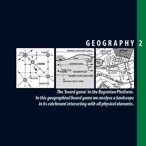
The sections of 2.Geography are as follows:
CARTOGRAPHY:
2.01 Applying the Geography Layer
2.02 Cartography
2.03 GIS/CAD Design
2.04 Topographic/Aerial Base Map
2.05 Cross Sectional Elevations & Relief Models
2.06 Standard Line, Symbol & Hatching Styles
2.07 Page & Paper Sizes
2.08 Geographic Projection
2.09 Elevation Contour Intervals
KEYLINE:
2.10 Geography of Keyline
2.11 Geometry of Keyline
LAND ANALYSIS:
2.12 Land Elements
2.13 Land Capability Classes
SITE ANALYSIS:
2.14 Site Analysis
2.15 Proximity
2.16 Zone Analysis
2.17 Sector Analysis
2.18 Solar Access/Sun Angles
2.19 Catchment Analysis
2.20 Land Capability Assessments (LCA)
SURVEYING:
2.21 Basic Surveying
2.22 Low-Tech Survey Instruments
2.23 Medium-Tech Survey Instruments
2.24 High-Tech Survey Instruments
2.25 Level/GNSS Topographic/Feature Survey
2.26 Dumpy Level Topographic Survey/Set Out
2.27 Total Station/RTK Survey
2.28 Total Station/RTK Set Out
MONITORING:
2.29 Bullseye!
APPENDIX:
2.30 Formulae & Conversions Appendices
References & Further Reading Glossary